
Welcome to our Map collection!
Operational Navigation Map Nepal – 1970
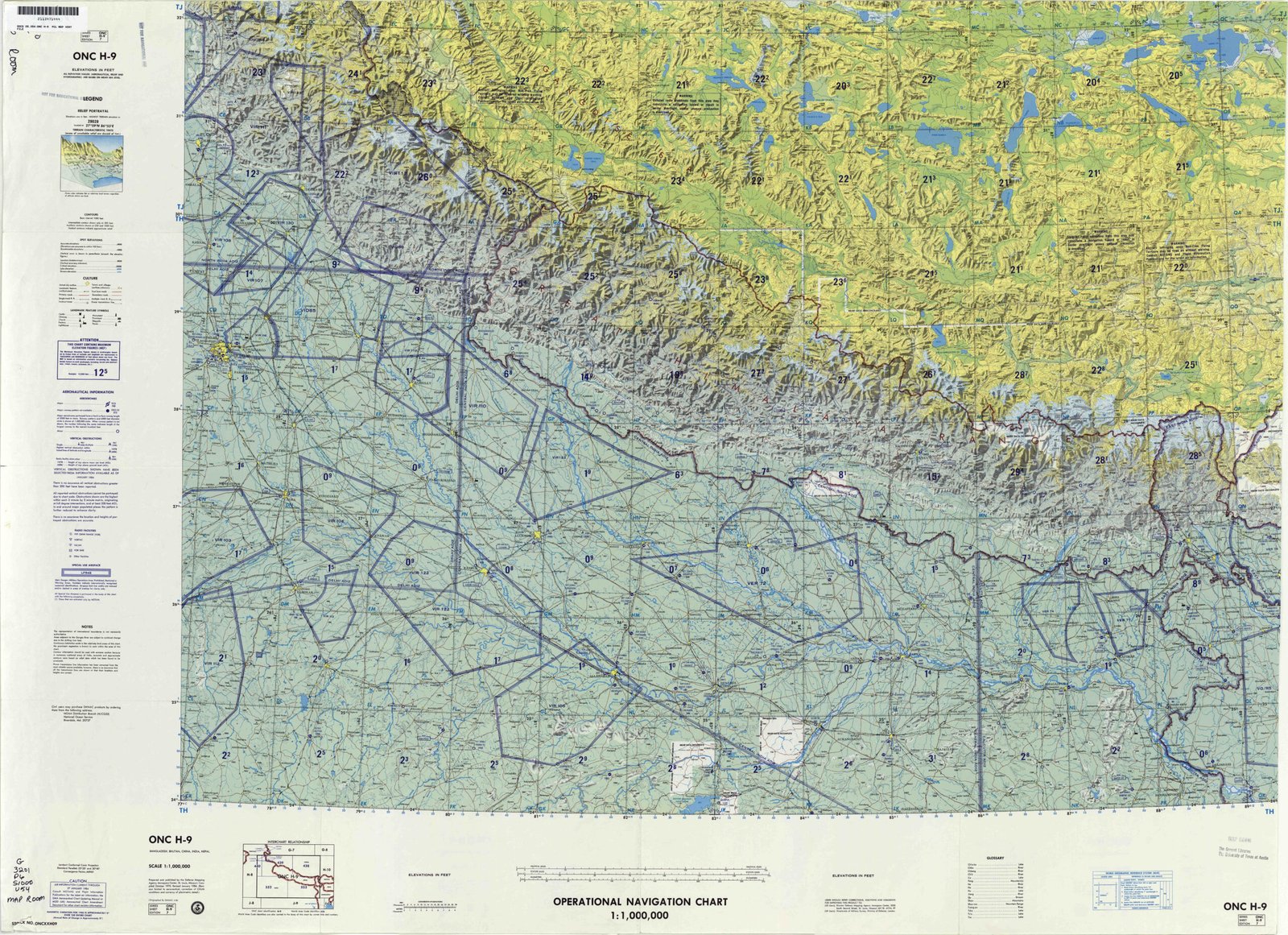
Title: Operational Navigation Chart - ONC H-9 (Nepal, China, India, Sikkim, Bhutan)
Publisher / Developer: Defense Mapping Agency Aerospace Center (St. Louis, Missouri, USA)
Sheet Identifier: ONC H-9
Scale: 1:1,000,000
Classification: Standard Aeronautical Chart / Public Domain (US Government Work)
Context:
Produced by the US military mapping agency as part of the worldwide Operational Navigation Chart (ONC) series, sheet H-9 was designed to support high-altitude visual and radar navigation for military and civil aircraft operating across the Himalayan region.
Description:
The chart covers northern India, Nepal, Bhutan, Sikkim, and southern Tibet. It features detailed hypsometric tinting and shaded relief to depict extreme Himalayan topography, alongside critical aeronautical data including airspaces, flight corridors, radio navigation aids, maximum elevation figures (MEFs per grid box), and primary transportation/urban infrastructure.