
Welcome to our Map collection!
Nepal and Adjacent Areas manuscript map – 1860
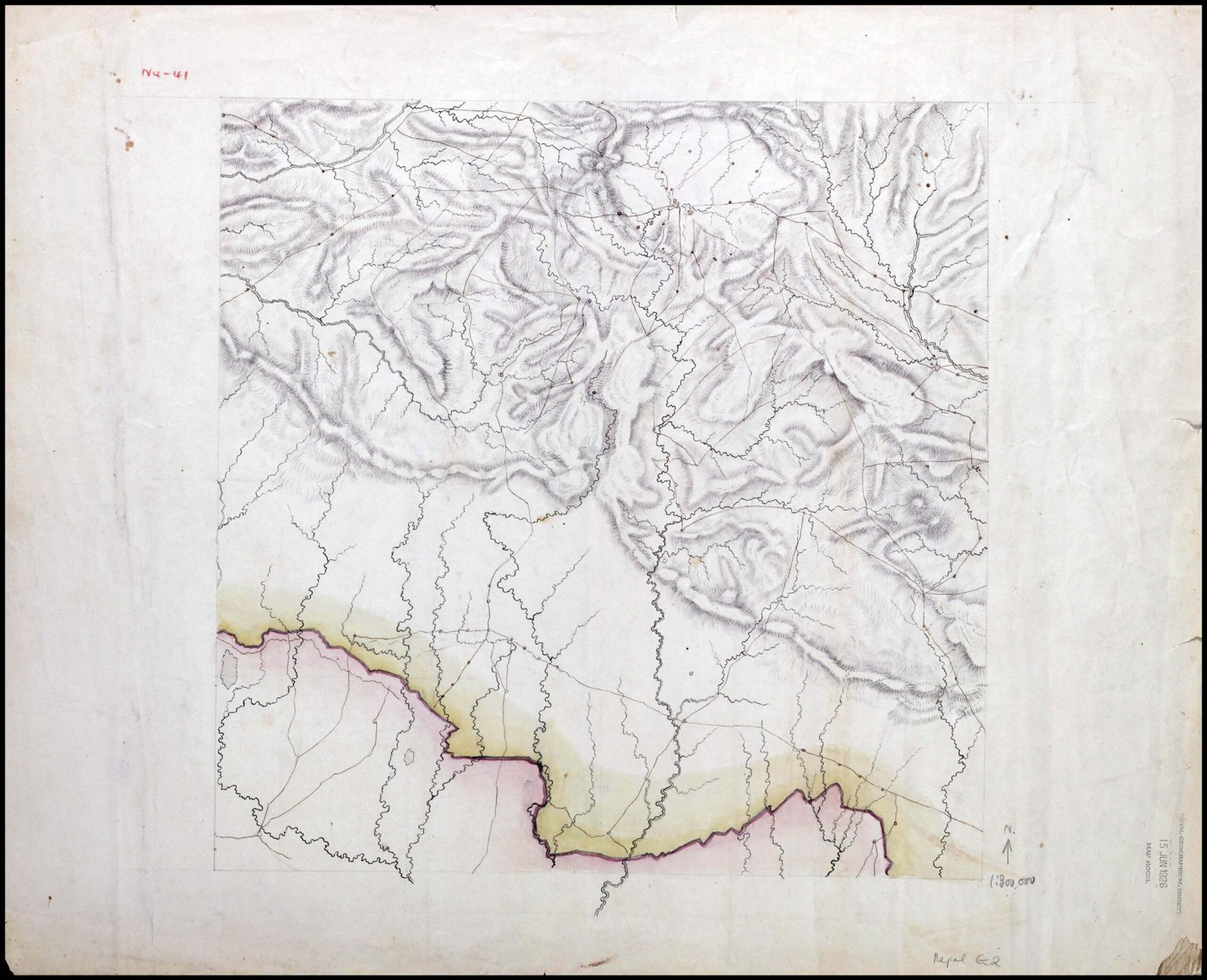
Title: Nepal and Adjacent Areas (or 1860 Nepal and Adjacent Areas manuscript map)
Publisher / Cartographer: Dr. Henry Ambrose Oldfield (Surgeon to the British Residency in Kathmandu)
Publication / Survey Date: Circa 1860
Archive Reference: Royal Geographical Society collection (stamped Nepal G.2)
Scale: Unstated manuscript scale grid / Scale of British Miles (top right)
Classification: Historical Manuscript Map (Public Domain)
Context:
Compiled around 1860 by Dr. Henry Ambrose Oldfield during his long tenure as Residency Surgeon in Kathmandu (1850–1863), this detailed manuscript served as an official diplomatic and topographical overview of the Kingdom of Nepal for the British East India Company / India Office.
Description:
The map displays the full territorial expanse of mid-19th-century Nepal, tracing its northern mountain frontier with Tibet and its southern border with British India (highlighted in yellow and pink color wash). It features fine ink and wash shading to depict mountain ridges, river systems (including the Karnali, Gandaki, and Kosi watersheds), major trade passes, and key administrative and strategic settlements across the country.