
Welcome to our Map collection!
Map of Part of Nepal and Tibet
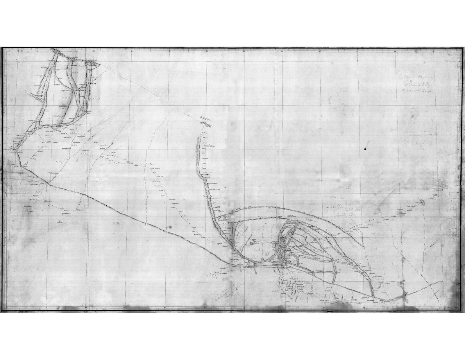
Title: Map of Part of Nepal and Tibet (Route Traverse Survey)
Author / Cartographer: Charles Crawford (Lieutenant / Captain, Bengal Engineers, East India Company)
Survey Date: 1802–1803 (conducted during Captain William Knox's diplomatic mission to Kathmandu)
Archive Reference: British Library / India Office Records (IOR/X/3024 series)
Format: Manuscript survey map / route traverse on a coordinate grid (grayscale scan)
Classification: Historical Cartographic Manuscript (Public Domain)
Produced during the 1802–1803 Knox diplomatic mission to Nepal, this manuscript map represents one of the earliest systematic route surveys by a British cartographer connecting northern Bengal and Bihar through central Nepal toward Tibet.
Cartographic Framework: Drawn over a precise latitudinal and longitudinal coordinate grid, the sheet outlines linear survey traverses with marked compass bearings and distance intervals.
Geographical Features: Traces trans-Himalayan trade and travel corridors, river systems (including the Trishuli, Gandaki, and Bagmati networks), mountain passes, and strategic settlements extending from the Terai up to the northern border routes with Tibet.
Inscriptions: Features handwritten route annotations, station bearings, and Crawford's cartographic notes along the survey lines.