
Welcome to our Map collection!
Map of Nepal – 1984
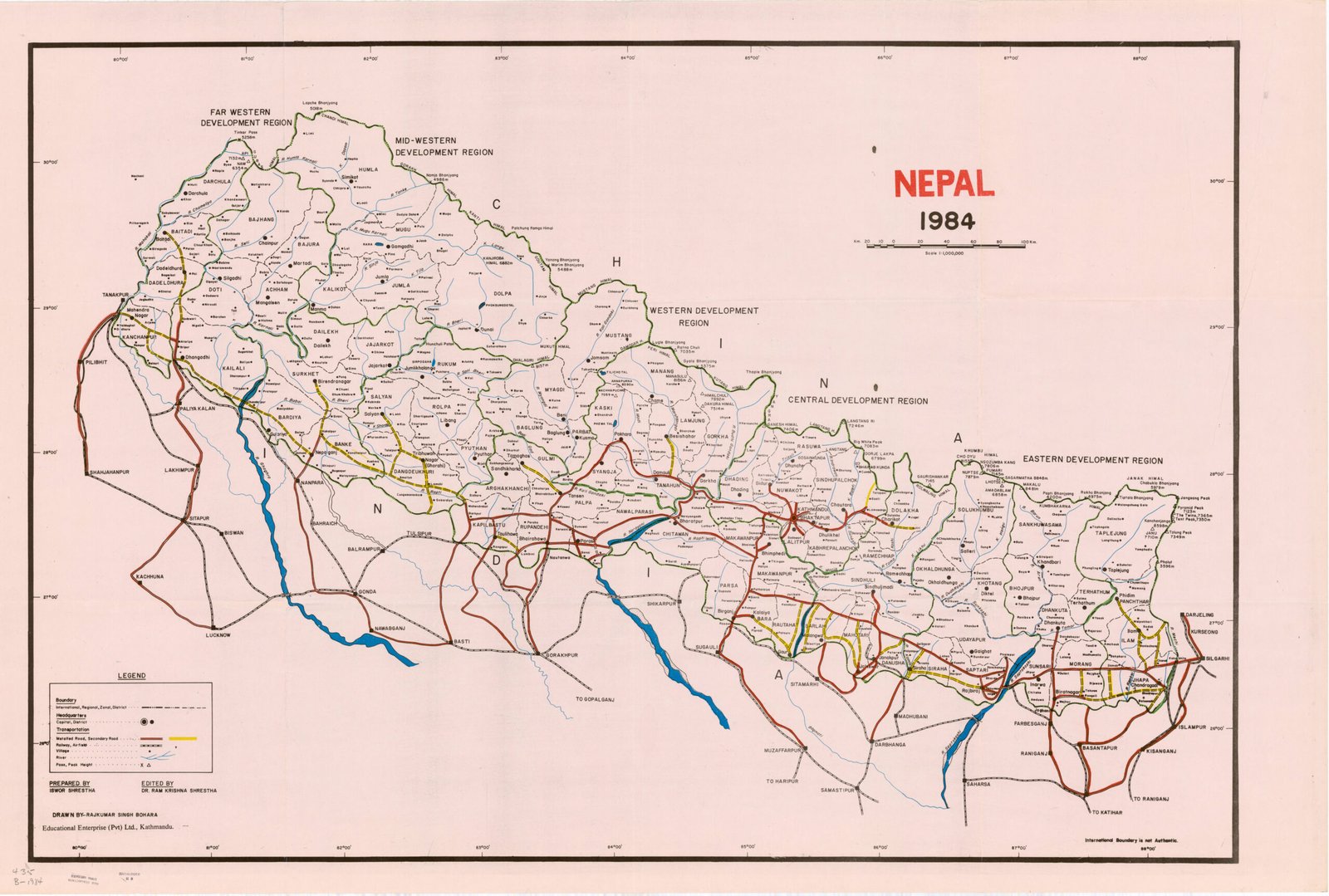
Title: Nepal 1984
Cartographer / Compiler: Prepared by Ishwor Shrestha; Edited by Dr. Ram Krishna Shrestha
Publisher / Developer: Educational Enterprises (Pvt) Ltd., Kathmandu
Publication Date: 1984
Scale: 1:1,500,000
Classification: Administrative / Transportation Map (Public Domain / Historical Reference)
Context: Published in Kathmandu in 1984, this general reference map was designed as an educational and administrative overview of Nepal during the Panchayat era, highlighting regional decentralization structures and the country's expanding road network.
Description: The map delineates Nepal’s administrative divisions of the time, featuring the five Development Regions (Far-Western, Mid-Western, Western, Central, and Eastern) alongside individual district and zonal boundaries. A color-coded transport legend overlays the administrative grid to showcase primary paved highways, gravel feeder roads, tracks, and river systems across the country.