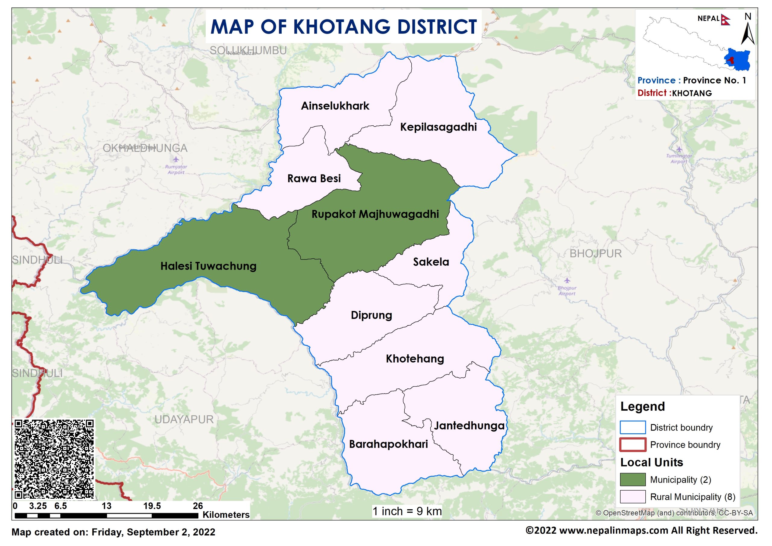
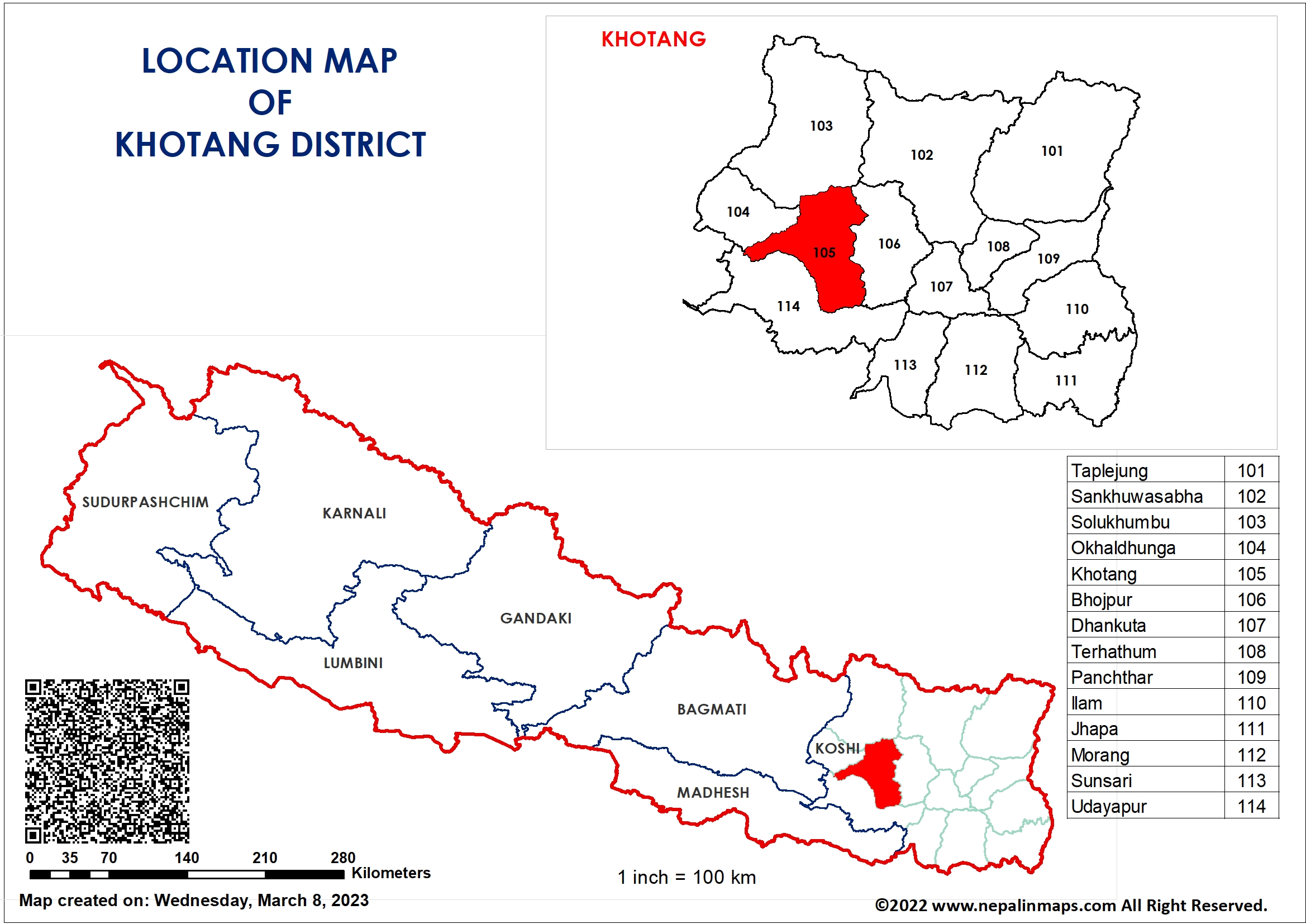
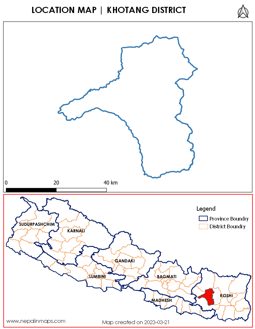
Khotang District (Nepali: खोटाङ जिल्ला) is one of 14 districts of Province No. 1 of eastern Nepal. The district, with Diktel as its district headquarters, covers an area of 1,591 km2 (614 sq mi) and has a population (2021) of 206,312. The district has been bordered by Bhojpur District in the east, Udayapur district in the south, Okhaldhunga district in the west and Solukhumbu district in the North. In this district there are 2 municipalities and 8 rural/urban municipalities.
Before the unification of Nepal, Khotang District was a part of Majha Kirat or Khambuwan. The land area between two rivers from Dudh Koshi to Arun was Majha Kirat and it was under suzerainty of Sen King of Chaudandigadhi.
During Rana rule, Nepal had 32 districts and the current Khotang District was divided between two other districts. Half of the north part of the current Khotang District was part of East No. 3 (Okhaldhunga) and half of southern part of current Khotang was part of East No. 4 (Bhojpur). In 1962 the traditional 32 districts were divided into 75 districts thus Khotang county of East No. 4 and some counties from East No. 3 were merged to become the current Khotang District.

SudurPaschim Province

Madhesh Province

Lumbini Province

Karnali Province

Gandaki Province

Bagmati Province

Koshi Province
Political map of Koshi Province
