
Welcome to our Map collection!
Regional section of Ost-Asien / Tibet
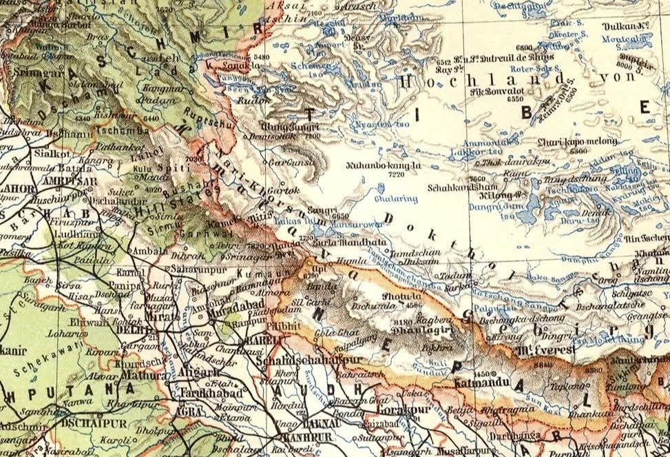
Title: Vorder-Indien und Tibet (or regional section of Ost-Asien / Tibet)
Publisher / Cartographic Institute: Justus Perthes, Gotha, Germany
Publication Era: Circa 1895–1905
Language: German
Scale: Approx. 1:7,500,000 to 1:12,000,000
Classification: Historical German Hand-Atlas / Geographic Journal Map (Public Domain)
Produced by the cartographic publishing house Justus Perthes in Gotha (renowned for Petermanns Geographische Mitteilungen and Stielers Hand-Atlas), this map captures late 19th-century scientific exploration across High Asia and the Himalayas. It incorporates data from French and British expeditions into the Tibetan Plateau (Hochland von Tibet), referencing key routes and named peaks from explorers such as Gabriel Bonvalot (Pik Bonvalot), J. L. Dutreuil de Rhins, Jules-Léon Dutreuil de Rhins, Henri d'Orléans (Montcalm, Dupleix), and British Indian Survey/Pandit explorers.
German Nomenclature & Orthography: Features Germanized translocations of regional place names (e.g., Hochland von Tibet, Katmandu, Dhaulagiri, Schigatse, Gyangtse, Kumaun, Pundschab).
Topography & Hydrography: Uses fine hachuring to delineate the High Himalayan arc, Karakoram, and Tibetan mountain ranges, marking peak elevations (e.g., Mt. Everest, Dhaulagiri 8180m) and major river networks (Tsangpo, Indus, Ganges, Kali Gandaki).
Exploration Tracks: Shows named peaks and route markers across northern Tibet and the Changtang region recording European and Asian exploratory ascents and route traverses.