
Welcome to our Map collection!
NEPAL (General Operational & Route Map)
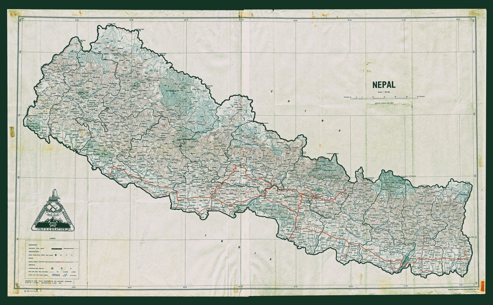
Title: NEPAL (General Operational & Route Map)
Publisher / Developer: Nepal Police Mountaineering and Adventure Foundation
Printed By: Topographical Survey Branch, Kathmandu, Nepal
Era / Date Range: Circa late 1984
Scale: 1:1,000,000 (indicated under the main title header)
Classification: Specialized Route & Operational Map (Public Record / Tourist & Rescue Reference)
Context
Produced in the mid-1980s by the Nepal Police Mountaineering and Adventure Foundation and printed by the official Topographical Survey Branch in Kathmandu, this map served a dual purpose. It provided an authoritative operational overview for police search-and-rescue, mountain safety, and border/high-altitude post tracking, while simultaneously offering reliable route and infrastructure data for high-altitude trekking and expedition logistics during the early boom of Himalayan adventure tourism.
Description
Base Topography & Settlements: Printed on a nationwide 1:1,000,000 sheet, the map delineates Nepal's 75 district boundaries and major river basins, densely populated with settlements, spot heights, and mountain pass locations extending from the Terai up into the Great Himalaya Range.
Operational & Transport Network: Overlaid with high-visibility red line work detailing primary paved highways, secondary feeder roads, seasonal tracks, and major trekking/expedition routes.
Police & Foundation Branding: Features the distinctive triangular emblem of the Nepal Police Mountaineering and Adventure Foundation in the lower-left corner above the map legend.
Cartographic Legend: Located at the bottom-left, the key defines symbols for administrative headquarters, police posts, high-altitude rescue points, airfields/STOL strips, medical facilities, road classifications, and major trekking routes.