
Welcome to our Map collection!
Nepal-India Borderlands Topographical Manuscript Map – 1860
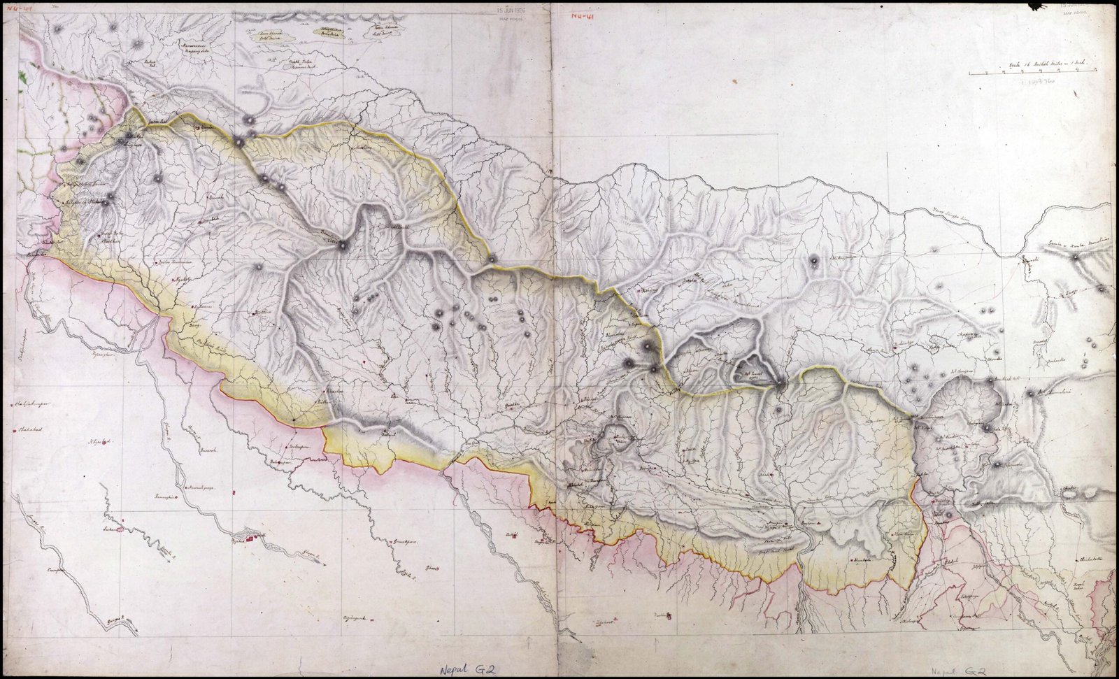
Title: Nepal Southern Border and Hill Traverses (or Nepal-India Borderlands Topographical Manuscript Map)
Publisher / Cartographer: Dr. Henry Ambrose Oldfield (Surgeon to the British Residency in Kathmandu)
Publication / Survey Date: Circa 1860
Archive Reference: Royal Geographical Society Collection (stamped 15 JUN 1926 MAP ROOM and cataloged as Nepal G.2)
Scale: 1:800,000 (annotated in pencil at the bottom right)
Classification: Historical Manuscript Map (Public Domain)
Context: Compiled around 1860 during Dr. Oldfield's service as Residency Surgeon (1850–1863), this manuscript map provides a tactical and geographical overview of the lower hills, Churia/Mahabharat ranges, and southern border zone between Nepal and British India.
Description: The map uses fine ink hachuring to depict the complex ridge networks of the mid-hills and foot-hills. A distinct yellow and pink watercolor wash highlights the international boundary along the Terai plains at the bottom. It maps the north-to-south drainage pattern of major rivers, key route connections through mountain passes, and strategic border outposts leading into northern India.