
Welcome to our Map collection!
Radial representation of the Kathmandu Valley – 1860
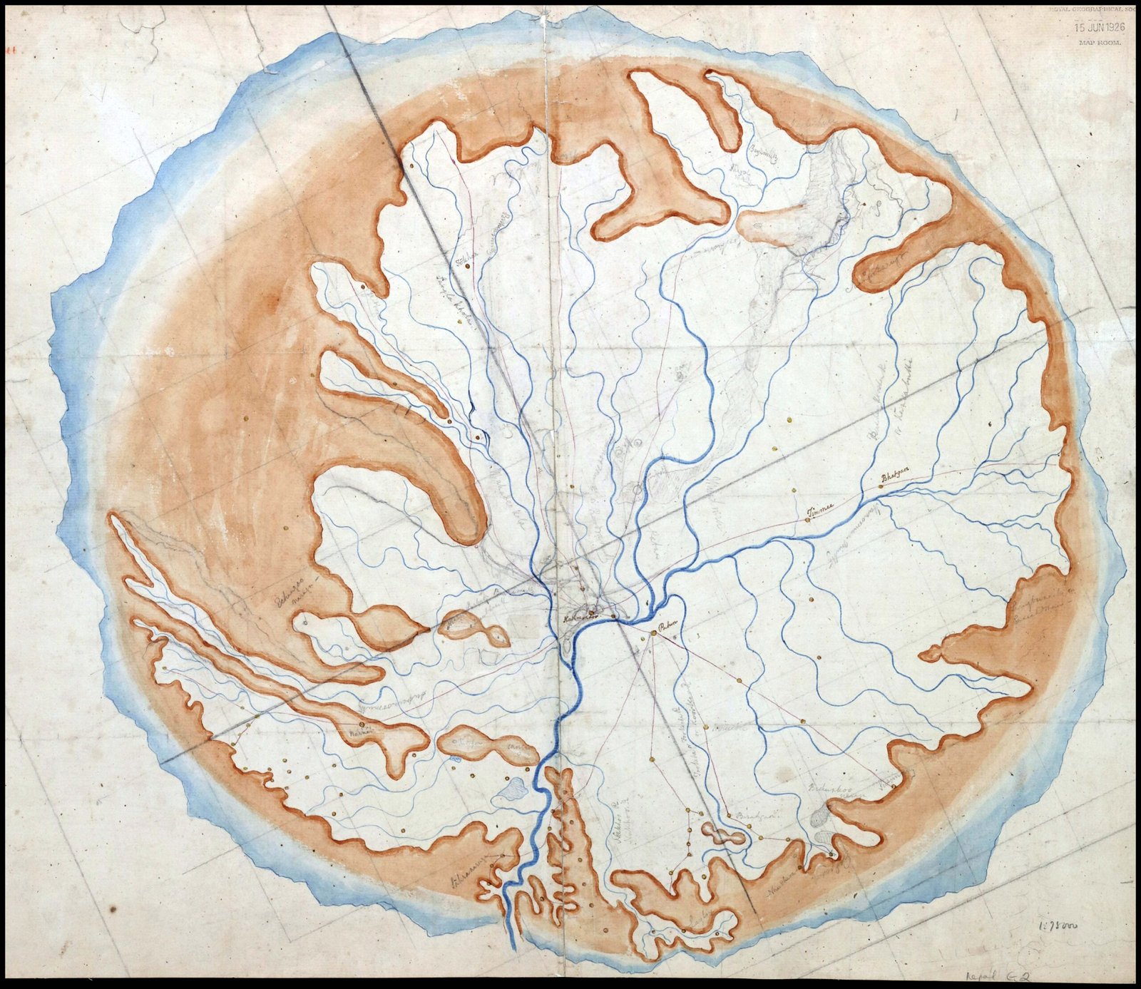
Title: Valley of Nepal (or Kathmandu Valley Topographical Map Sheet)
Publisher / Cartographer: Dr. Henry Ambrose Oldfield (Surgeon to the British Residency in Kathmandu)
Publication / Survey Date: Circa 1860
Archive Reference: Held in the Royal Geographical Society collection (stamped 15 JUN 1926 MAP ROOM and cataloged as Nepal G.2)
Scale: 1:75,000 (annotated in pencil at the bottom right)
Classification: Historical Manuscript Map (Public Domain)
Context: Drafted by Residency Surgeon Dr. Henry Ambrose Oldfield during his posting in Kathmandu (1850–1863), this manuscript provides an organic, radial representation of the Kathmandu Valley's basin and surrounding mountain frame.
Description: The map uses brown and blue watercolor wash to delineate the elevated mountain rim surrounding the central valley floor. It features detailed blue line drainage mapping for the Bagmati River and its tributaries, while highlighting the primary urban centers of Kathmandu, Patan, and Bhaktapur ("Bhatgaon") along with radiating travel routes and surrounding village settlements.